One of Atlantic Canada’s largest independently
owned engineering firms

Careers at Harbourside
Find out why young engineers like Brendan choose to start their engineering careers at Harbourside Engineering. From Co-Op to full-time positions as junior engineers with our engineering firm in Dartmouth, Charlottetown, St. John’s, and Hamilton.
Engineering Design Innovation
OUR WORK SPEAKS FOR ITSELF.
In terms of quality, Harbourside Engineering goes above and beyond. Our group is made of experts from across the industry: from structural engineering, civil engineering, transportation engineering, geotechnical engineering, materials engineering, to project management. We are an independent engineering firm that raises the bar at every turn.
We take pride in being the best engineers in Atlantic Canada. The technical talent found under our roof is unmatched. Our award-winning solutions have been recognized throughout the region and internationally. We tackle challenges in every sector, from heavy civil engineering, transportation engineering, to geotechnical engineering. There’s nothing we can’t overcome.
What’s our secret? Our group works collaboratively to overcome even the largest engineering projects.
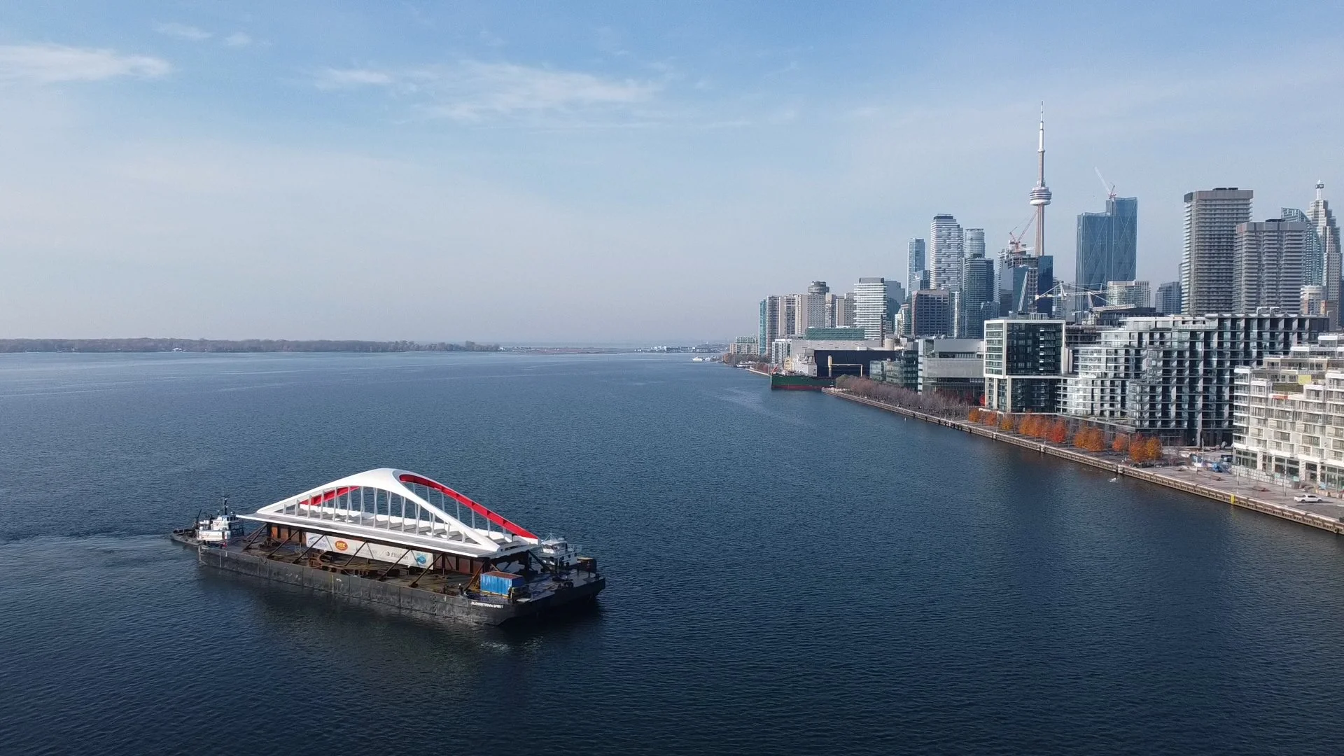
Some of our award-winning projects are highlighted below
Award-Winning Projects
Engineering Careers
Harbourside is the best place for a young engineer to start their engineering career. Why? Our principals have a personal stake in the growth of our junior engineers. We want them to be the best. If you’re here, you’re going to learn. You’ll work side by side with our senior engineering team to see real-world projects brought to life. We’re invested in you for the long-haul.
We treat our co-op students and junior engineers as part of the team. We don’t expect you to be perfect; we expect you to learn. You’ll be encouraged to join a variety of different projects to gain wider understanding of the industry. Co-Op students can explore our structural engineering, geotechnical engineering, or transportation engineering divisions to get a sense of what appeals to them. With offices in Halifax, St. John’s, Charlottetown, and Toronto, you can work where you live!
If you’re ready to join an award-winning team, reach out to us today.
What to expect as a Young Engineer
It won’t always be easy,
but it gets easier every time.
You’ll be hands on.
You’ll be challenged.
You’ll be the best there is.

Engineering Talent in Atlantic Canada
Our team is based in Atlantic Canada. Our offices can be found in Nova Scotia, Prince Edward Island, Newfoundland, and Ontario. With east-coast roots, we complete projects on an international level, on par with the largest engineering firms. Independently owned, our principals take an active role in every project that comes through our doors. This ensures that each job is given senior oversight. It also means our junior engineers are given the strongest mentorship possible. We find talent, and train it right here in Atlantic Canada.
The Power of 5 Companies.
The Harbourside Engineering Group is made up of five individual companies. Together, we cover all aspects of the industry throughout Atlantic Canada. From Halifax to St. John’s. From Charlottetown to Toronto. Our engineering consultants, transportation consultants, geotechnical consultants, project management team, and industrial engineering teams all work together. We bring different experts from every sector under one roof to deliver incredible results. Our award-winning engineering projects are a testament to Harbourside’s to caliber of work.


